| ©The Archaeological Settlements of Turkey - TAY Project | ||||||
|
|
||||||
S 63/4 Magrip |
||||||
|
|
||||||
| Ages | Maps | Photos | ||||
| Chalcolithic |
 |
 |
||||
|
|
||||||
|
Type:
|
Mound | |||||
|
Altitude:
|
930 m | |||||
|
Diameter:
|
221 m- Direction: NNE-SSW | |||||
|
|
||||||
|
Region:
|
Southeastern Anatolia | |||||
|
Province:
|
Siirt | |||||
|
District:
|
Kurtalan | |||||
|
Village:
|
Magrip | |||||
|
|
||||||
|
Destruction :
|
Agriculture - Contemporary Settlements - Attention | |||||
|
|
||||||
|
TAYEx:
|
Visited - 5/7/2003 | |||||
|
|
||||||
|
Registration State:
|
For detailed registration information please refer to Turkish pages. | |||||
 |
||||||
| Location: |
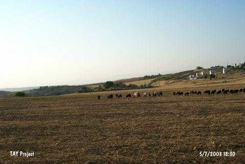
| Geography and Environment: |
| Destruction Details: Agricultural activities are being done at the surroundings of the mound and top hill is being used as a garden. Soil has been removed from north-northeastern section. There is an iron door on top facing southeast [TAYEx 5.7.2003]. |