| ©The Archaeological Settlements of Turkey - TAY Project | ||||||
|
|
||||||
Asvan Kale |
||||||
|
|
||||||
| Ages | Maps | Photos | ||||
| EBA |
 |
 |
||||
|
|
||||||
|
Type:
|
Mound | |||||
|
Altitude:
|
870 m | |||||
|
Diameter:
|
m- Direction: | |||||
|
|
||||||
|
Region:
|
Eastern Anatolia | |||||
|
Province:
|
Elazig | |||||
|
District:
|
Merkez | |||||
|
Village:
|
Asvan | |||||
|
|
||||||
|
Destruction :
|
Dams | |||||
|
|
||||||
|
TAYEx:
|
Not visited - 15/8/2003 | |||||
|
|
||||||
|
Registration State:
|
For detailed registration information please refer to Turkish pages. | |||||
 |
||||||
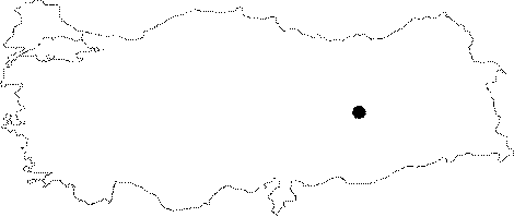
| Location: It was located immediate west of the Asvan (Muratçik) Village; northeast of the Hidirbey Sub-District; 35 km northwest of the Elazig Province; on the southern banks of the Murat River which was formerly a branch of the Euphrates until the construction of the Keban Dam. It; now; lays beneath the reservoir waters of the Keban Lake. It is coded under N 52/ 4. |
| Geography and Environment: It is an oval shaped; high and big hill on the first terrace of the Euphrates. The top hill is flat; and the slopes are steep. It measures 15 m in height and 130x110 m in dimensions. The spring originating from the conglomerate bedrock was probably the main criteria for the occupation. |
| Destruction Details: The mound is flooded by dam reservoir [TAYEx 15.8.2003]. |