| ©The Archaeological Settlements of Turkey - TAY Project | ||||||
|
|
||||||
Takyan Tepe |
||||||
|
|
||||||
| Ages | Maps | Photos | ||||
| Chalcolithic IA |
 |
 |
||||
|
|
||||||
|
Type:
|
Mound | |||||
|
Altitude:
|
376 m | |||||
|
Diameter:
|
m- Direction: | |||||
|
|
||||||
|
Region:
|
Southeastern Anatolia | |||||
|
Province:
|
Sirnak | |||||
|
District:
|
Silopi | |||||
|
Village:
|
Bugdayli | |||||
|
|
||||||
|
Destruction :
|
Agriculture | |||||
|
|
||||||
|
TAYEx:
|
Not visited - 19/9/2001 | |||||
|
|
||||||
|
Registration State:
|
For detailed registration information please refer to Turkish pages. | |||||
 |
||||||
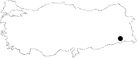
| Location: The site lies east of Surik Stream; approximately 2 km southeast of Bugdayli (Nerivan) Village; 10.7 km southwest of Silopi District; south of Sirnak Province. |
| Geography and Environment: It is a 15 m high round mound, measuring 350 m in east-west direction and 680 m in north-south direction, lying on the Silopi Plain, on the bank of Surik Creek. The site, surrounded by fertile lands, is reported to be covering an area of 12 hectares. The annual rainfall in Silopi Plain is estimated as 40-50 cm, which is located in a zone rich in water sources. The Tigris passes through the Mount Cudi, forming deep valleys, and irrigates the Silopi Plain along with the Habur Stream, which flows from the northeast. |
| Destruction Details: The mound has been damaged due to agricultural activities; lowered about 3-4 m and southern part is cultivated [Kozbe 2004]. |