| ©The Archaeological Settlements of Turkey - TAY Project | ||||||
|
|
||||||
Tepecik - Çiftlik |
||||||
|
|
||||||
| Ages | Maps | Photos | ||||
| Neolithic Chalcolithic 14C |
 |
 |
||||
|
|
||||||
|
Type:
|
Mound | |||||
|
Altitude:
|
1450 m | |||||
|
Diameter:
|
m- Direction: | |||||
|
|
||||||
|
Region:
|
Central Anatolia | |||||
|
Province:
|
Nigde | |||||
|
District:
|
Çiftlik | |||||
|
Village:
|
Merkez | |||||
|
|
||||||
|
|
||||||
|
|
||||||
|
TAYEx:
|
Not visited - 9/8/2002 | |||||
|
|
||||||
|
Registration State:
|
Registered For detailed registration information please refer to Turkish pages. | |||||
 |
||||||
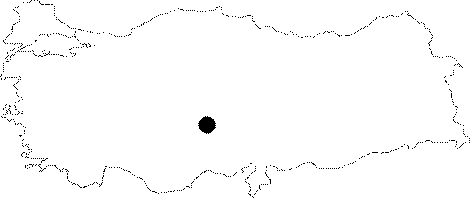
| Location: The site lies northwest of the city of Nigde; 1 km east of the small town of Çiftlik. |
| Geography and Environment: The mound lies in a small valley between two streams; immediately east of the Melendiz Mountains. It has a 200 m diameter and is 4-5 m high. The mound is currently plowed and used as an agricultural field. This process has caused much damage to the mound. The valley that the mound lies in is rich in water sources and has very fertile soil. Obsidian resources are located very close to the mound and have been used by the inhabitants of this site. |
| Destruction Details: |