| ©The Archaeological Settlements of Turkey - TAY Project | ||||||
|
|
||||||
Tikali Magara |
||||||
|
|
||||||
| Ages | Maps | Photos | ||||
| Palaeolithic/Epipalaeolithic |
 |
 |
||||
|
|
||||||
|
Type:
|
Cave | |||||
|
Altitude:
|
m | |||||
|
Diameter:
|
m- Direction: | |||||
|
|
||||||
|
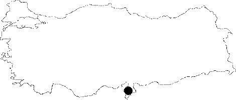
Region:
|
Mediterranean | |||||
|
Province:
|
Hatay | |||||
|
District:
|
Samandag | |||||
|
Village:
|
Magaracik | |||||
|
|
||||||
|
|
||||||
|
|
||||||
|
TAYEx:
|
Not visited - 23/7/2001 | |||||
|
|
||||||
|
Registration State:
|
For detailed registration information please refer to Turkish pages. | |||||
 |
||||||
| Location: This cave site is southwest of the city of Antakya; in the village of Magaracik; which is near the town of Samandag. It is located between the cave site of Merdivenli Magara (Cave I) and Magara II (Cave II); but at a higher elevation. |
| Geography and Environment: The name Tikali Magara; which literally means "blocked cave"; was given by Muzaffer Senyürek and Enver Yasar Bostanci because its entrance is indeed blocked by a large pile of rubble. The rubble; which appears to give the cave three different entrances leading to the central chamber; makes entry difficult. The researchers report that the cave is shallow and estimate that it is only 3.5 m deep in the middle and 7.5 m deep at the western side. They further note that it is at an altitude of 83 m. Just above this cave is an irrigation canal which has been carved into the stone. |
| Destruction Details: |