| ©The Archaeological Settlements of Turkey - TAY Project | ||||||
|
|
||||||
Yeni Yeldegirmeni Tepe |
||||||
|
|
||||||
| Ages | Maps | Photos | ||||
| EBA |
 |
 |
||||
|
|
||||||
|
Type:
|
Mound | |||||
|
Altitude:
|
30 m | |||||
|
Diameter:
|
m- Direction: | |||||
|
|
||||||
|
Region:
|
Aegean | |||||
|
Province:
|
Balikesir | |||||
|
District:
|
Ayvalik | |||||
|
Village:
|
Altinova | |||||
|
|
||||||
|
Destruction :
|
Agriculture - Contemporary Settlements - Highways, roads, bridges etc. - Attention | |||||
|
|
||||||
|
TAYEx:
|
Visited - 7/9/2000 | |||||
|
|
||||||
|
Registration State:
|
Registered For detailed registration information please refer to Turkish pages. | |||||
 |
||||||
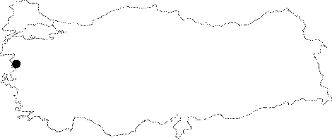
| Location: It is located about 2.5 km from the Aegean Sea; 1.5 km west of Altinova; south of the district of Ayvalik in the province of Balikesir. |
| Geography and Environment: It lies in the alluvial plain formed by Madra stream. During the geomorphologic researches conducted by I. Kayanit was determined that the Aegean Sea was located nearby the mound. The mound is partly destructed; there is a water tank and a building atop. There are also traces of destruction on the southern and western sections. According to the distribution of the ceramics; the settlement measures 100x90 m. |
| Destruction Details: A dirt road in the east-west direction has damaged the mound. The settlement has also been destructed due to the water reservoir consisting of two buildings built on the top [TAYEx 7.9.2000]. |