| ©The Archaeological Settlements of Turkey - TAY Project | ||||||
|
|
||||||
Yildirimkemal |
||||||
|
|
||||||
| Ages | Maps | Photos | ||||
| EBA |
 |
 |
||||
|
|
||||||
|
Type:
|
Mound | |||||
|
Altitude:
|
1085 m | |||||
|
Diameter:
|
96 m- Direction: E-W | |||||
|
|
||||||
|
Region:
|
Aegean | |||||
|
Province:
|
Afyonkarahisar | |||||
|
District:
|
Merkez | |||||
|
Village:
|
Olucak | |||||
|
|
||||||
|
Destruction :
|
Illicit Digging - Agriculture - Attention | |||||
|
|
||||||
|
TAYEx:
|
Visited - 8/7/2004 | |||||
|
|
||||||
|
Registration State:
|
For detailed registration information please refer to Turkish pages. | |||||
 |
||||||
| Location: |
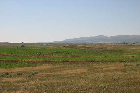
| Geography and Environment: |
| Destruction Details: The southwestern slope of the mound was cut to make way for fields. On the north-northeastern skirt is a cut made by illicit diggers measuring 16 m in length and 3 m in depth [TAYEx 8.7.2004]. |