| ©The Archaeological Settlements of Turkey - TAY Project | ||||||
|
|
||||||
Yunus |
||||||
|
|
||||||
| Ages | Maps | Photos | ||||
| Chalcolithic |
 |
 |
||||
|
|
||||||
|
Type:
|
Mound | |||||
|
Altitude:
|
495 m | |||||
|
Diameter:
|
m- Direction: | |||||
|
|
||||||
|
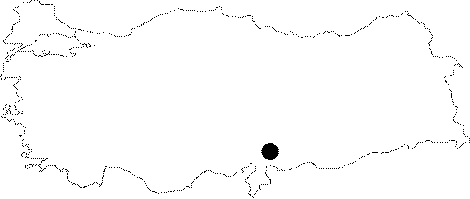
Region:
|
Southeastern Anatolia | |||||
|
Province:
|
Gaziantep | |||||
|
District:
|
Karkamis | |||||
|
Village:
|
Yarimca | |||||
|
|
||||||
|
Destruction :
|
Illicit Digging - Contemporary Settlements - Highways, roads, bridges etc. - Attention | |||||
|
|
||||||
|
TAYEx:
|
Visited - 17/8/2001 | |||||
|
|
||||||
|
Registration State:
|
For detailed registration information please refer to Turkish pages. | |||||
 |
||||||
| Location: The mound lies southeast of Gaziantep and 1.2-1.3 km east-northeast of Karkamis Höyügü [Algaze et al 1994:9]. It is where the village of Eminik (Yunus) is. This village is not indicated on the 1:1 000 000 maps; on the other hand on 1:200 000 maps; Eminlik; Karkamis and Barak are shown side by side. Probably the town of Barak has enlarged combining with the village of Eminik/Eminlik or the village of Eminik has enlarged becoming the town of Barak. The mound; today; might be around the northwest exit of the town. |
| Geography and Environment: The site; within a wide valley of Euphrates; is surrounded by fertile lands. The railway; probably; passes south of this little mound. |
| Destruction Details: The mound is fairly leveled and houses built on it. Northeastern part of the mound is destructed by a road and pits made by illicit diggers seen at south slope [TAYEx 17.8.2001]. |