| ©The Archaeological Settlements of Turkey - TAY Project | ||||||
|
|
||||||
Barak |
||||||
|
|
||||||
| Ages | Maps | Photos | ||||
| Palaeolithic/Epipalaeolithic |
 |
 |
||||
|
|
||||||
|
Type:
|
Habitation Site / Workshop | |||||
|
Altitude:
|
510 m | |||||
|
Diameter:
|
m- Direction: | |||||
|
|
||||||
|
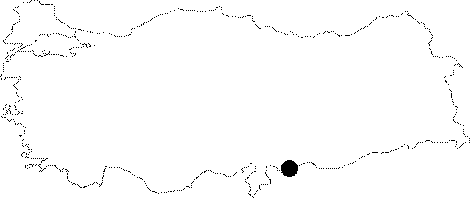
Region:
|
Southeastern Anatolia | |||||
|
Province:
|
Gaziantep | |||||
|
District:
|
Karkamis | |||||
|
Village:
|
Yurtbagi | |||||
|
|
||||||
|
Destruction :
|
Agriculture | |||||
|
|
||||||
|
TAYEx:
|
Visited - 17/8/2001 | |||||
|
|
||||||
|
Registration State:
|
Registered For detailed registration information please refer to Turkish pages. | |||||
 |
||||||
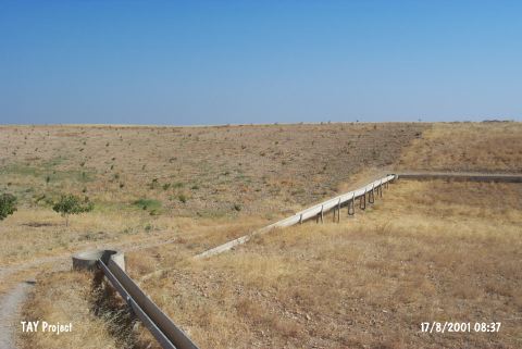
| Location: This site is southeast of the city of Gaziantep; 1.100 m west of the village of Yurtbagi (Mercihamis); which is north of the town of Barak. It is very close to the Syrian border and lies on either side of the highway which bisects it. |
| Geography and Environment: The exact location and the geographic setting of the site has not been given. The Barak Plain is mostly flat but it also has some slightly rolling terrain. |
| Destruction Details: The pistachio trees and fields take place at the area where the site locates [TAYEx 17.8.2001]. |