| ©The Archaeological Settlements of Turkey - TAY Project | ||||||
|
|
||||||
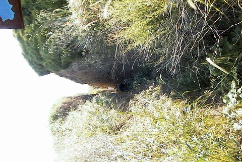
Harekattepe Tümülüsü |
||||||
|
|
||||||
| Ages | Maps | Photos | ||||
| IA |
 |
 |
||||
|
|
||||||
|
Type:
|
Tumulus | |||||
|
Altitude:
|
30 m | |||||
|
Diameter:
|
m- Direction: | |||||
|
|
||||||
|
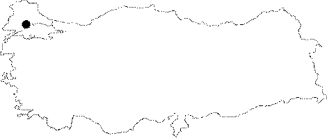
Region:
|
Marmara | |||||
|
Province:
|
Tekirdag | |||||
|
District:
|
Merkez | |||||
|
Village:
|
Gazioglu | |||||
|
|
||||||
|
Destruction :
|
Illicit Digging - Other | |||||
|
|
||||||
|
TAYEx:
|
Visited - 27/5/2000 | |||||
|
|
||||||
|
Registration State:
|
Registered For detailed registration information please refer to Turkish pages. | |||||
 |
||||||
| Location: It is in the village of Gazioglu; Merkez district of the province of Tekirdag. |
| Geography and Environment: The settlement of Menekse Çatagi is located to the west of the tumulus and to the south is the Istanbul-Tekirdag motorway. |
| Destruction Details: The tumulus is cut by the motorway passing from the south and the fill in this section was removed during the construction of the road. The trench wall to the east of the tomb chamber was carved by the treasure hunters [TAYEx 27.5.2000]. |