| ©The Archaeological Settlements of Turkey - TAY Project | ||||||
|
|
||||||
Bayat |
||||||
|
|
||||||
| Ages | Maps | Photos | ||||
| Chalcolithic EBA |
 |
 |
||||
|
|
||||||
|
Type:
|
Mound | |||||
|
Altitude:
|
1110 m | |||||
|
Diameter:
|
120 m- Direction: N-S | |||||
|
|
||||||
|
Region:
|
Central Anatolia | |||||
|
Province:
|
Nigde | |||||
|
District:
|
Bor | |||||
|
Village:
|
Bayat | |||||
|
|
||||||
|
Destruction :
|
Illicit Digging - Contemporary Settlements | |||||
|
|
||||||
|
TAYEx:
|
Visited - 7/8/2002 | |||||
|
|
||||||
|
Registration State:
|
Registered For detailed registration information please refer to Turkish pages. | |||||
 |
||||||
| Location: |
| Geography and Environment: |
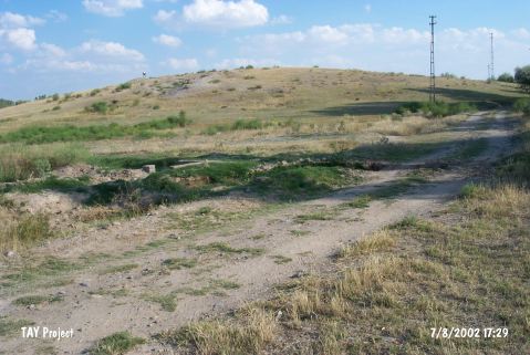
| Destruction Details: The mound has been damaged due to illicit diggings. There is pit of 2x2 m dimensions on northwestern slope. Soil removed from western slope and from top of the hill [TAYEx 7.8.2002]. |