| ©The Archaeological Settlements of Turkey - TAY Project | ||||||
|
|
||||||
Ber Ava Sikefte |
||||||
|
|
||||||
| Ages | Maps | Photos | ||||
| Neolithic |
 |
 |
||||
|
|
||||||
|
Type:
|
Rock Shelter and Artifact Scatter | |||||
|
Altitude:
|
1000 m | |||||
|
Diameter:
|
m- Direction: | |||||
|
|
||||||
|
Region:
|
Southeastern Anatolia | |||||
|
Province:
|
Siirt | |||||
|
District:
|
Eruh | |||||
|
Village:
|
||||||
|
|
||||||
|
|
||||||
|
|
||||||
|
TAYEx:
|
- | |||||
|
|
||||||
|
Registration State:
|
For detailed registration information please refer to Turkish pages. | |||||
 |
||||||
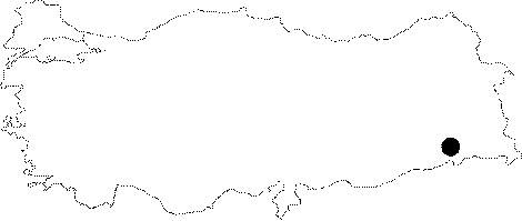
| Location: This site is located southeast of the city of Siirt; north of the Siirt-Sirnak highway; and 58.9 km from Siirt via this highway. The exact location of the site has not been represented on a map. The site must be between 3.5 and 4 km southeast of the town of Eruh since the distance between this town and Siirt is 54 km. It is assumed that the site lies very close to the highway. The site is similarly not represented on the map accompanying Benedict's site report. The survey code of this site is T 65 / 1. |
| Geography and Environment: This site is a rock-shelter-site located along the western flanks of Mount Yalnizca. Obsidian and flint chipped stone tools can be found on the terrace by the entrance of the rock shelter and in the agricultural fields beneath this terrace. The area with chipped stone tools is 90x60 m in size. The height of the terrace; where chipped stone tools can be found; above the field is 20 m. The topography of the region is comprised of low plains and mountain chains. |
| Destruction Details: |