| ©The Archaeological Settlements of Turkey - TAY Project | ||||||
|
|
||||||
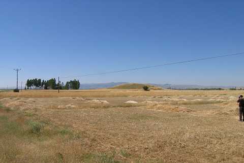
No Name (Çayirbag) |
||||||
|
|
||||||
| Ages | Maps | Photos | ||||
| EBA |
 |
 |
||||
|
|
||||||
|
Type:
|
Mound | |||||
|
Altitude:
|
1025 m | |||||
|
Diameter:
|
61 m- Direction: N-S | |||||
|
|
||||||
|
Region:
|
Aegean | |||||
|
Province:
|
Afyonkarahisar | |||||
|
District:
|
Merkez | |||||
|
Village:
|
Çayirbag | |||||
|
|
||||||
|
Destruction :
|
Agriculture | |||||
|
|
||||||
|
TAYEx:
|
Visited - 9/7/2004 | |||||
|
|
||||||
|
Registration State:
|
For detailed registration information please refer to Turkish pages. | |||||
 |
||||||
| Location: |
| Geography and Environment: |
| Destruction Details: The skirts of the mound are planted. Its west-northwestern sit has been terraced. On the upper part is an illicit digging pit measuring 4.5 m in diameter and 1.6 m in depth [TAYEx 9.7.2004]. |