| ©The Archaeological Settlements of Turkey - TAY Project | ||||||
|
|
||||||
Asartepe |
||||||
|
|
||||||
| Ages | Maps | Photos | ||||
| EBA |
 |
 |
||||
|
|
||||||
|
Type:
|
Mound | |||||
|
Altitude:
|
260 m | |||||
|
Diameter:
|
m- Direction: | |||||
|
|
||||||
|
Region:
|
Marmara | |||||
|
Province:
|
Çanakkale | |||||
|
District:
|
Lapseki | |||||
|
Village:
|
Hacigelen | |||||
|
|
||||||
|
Destruction :
|
Illicit Digging - Agriculture | |||||
|
|
||||||
|
TAYEx:
|
Visited - 2/5/2008 | |||||
|
|
||||||
|
Registration State:
|
For detailed registration information please refer to Turkish pages. | |||||
 |
||||||
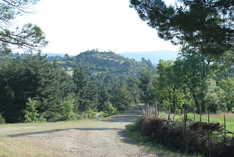
| Location: |
| Geography and Environment: |
| Destruction Details: Except for the southern section; the mound is being used as a plantation field [Arslan 2003]. It was visited during TAYEx Bizans Marmara in 2008 and an illicit digging 2 m in diameter was found at the peak of the mound. It was found that the pit was filled with the rubble stones at the top [TAYEx 2.5.2008]. |