| ©The Archaeological Settlements of Turkey - TAY Project | ||||||
|
|
||||||
Birtlan / Bögürtlen Höyük |
||||||
|
|
||||||
| Ages | Maps | Photos | ||||
| Neolithic |
 |
 |
||||
|
|
||||||
|
Type:
|
Mound | |||||
|
Altitude:
|
600 m | |||||
|
Diameter:
|
m- Direction: | |||||
|
|
||||||
|
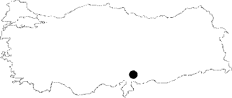
Region:
|
Mediterranean | |||||
|
Province:
|
Gaziantep | |||||
|
District:
|
Nurdagi | |||||
|
Village:
|
Satirhöyük | |||||
|
|
||||||
|
Destruction :
|
Agriculture | |||||
|
|
||||||
|
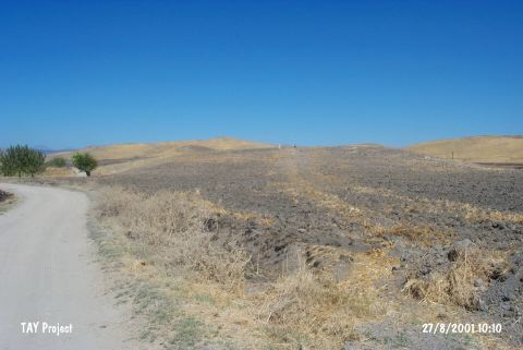
TAYEx:
|
Visited - 27/8/2001 | |||||
|
|
||||||
|
Registration State:
|
Registered For detailed registration information please refer to Turkish pages. | |||||
 |
||||||
| Location: This is a mound site located northwest of the city of Gaziantep and 9 km northeast of the town of Sakçagözü. Birtlan is a local derivative of the name Bögürtlen; literally meaning "blackberry". Both names are common in archaeological literature. The more correct version is Bögürtlen Höyük. |
| Geography and Environment: The 5-7 m high mound-site lies in the Sakçagözu Plain. There is a survey point on top of the mound. It is reported that basalt blocks were found at the surface of the mound in the 1961 survey [Perrot 1962:16]. |
| Destruction Details: The site is being destructed by agricultural activities [TAYEx 27.8.2001]. |