| ©The Archaeological Settlements of Turkey - TAY Project | ||||||
|
|
||||||
Borluk Deresi |
||||||
|
|
||||||
| Ages | Maps | Photos | ||||
| Palaeolithic/Epipalaeolithic |
 |
 |
||||
|
|
||||||
|
Type:
|
Single Findspot | |||||
|
Altitude:
|
m | |||||
|
Diameter:
|
m- Direction: | |||||
|
|
||||||
|
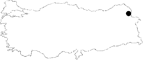
Region:
|
Eastern Anatolia | |||||
|
Province:
|
Kars | |||||
|
District:
|
Merkez | |||||
|
Village:
|
Borluk | |||||
|
|
||||||
|
|
||||||
|
|
||||||
|
TAYEx:
|
Not visited - 29/6/2003 | |||||
|
|
||||||
|
Registration State:
|
For detailed registration information please refer to Turkish pages. | |||||
 |
||||||
| Location: The name "Borluk Deresi"; is the collective name for all the sites that lie in the valley created by the Borluk Stream which begins at the village of Borluk; approximately 17-18 km southeast of Kars. It flows by the villages of Magaracik; Azatköy and Karacaören and empties into the Kars Stream southwest of this city. Archaeologically the sites of Borluk; Magaracik and Azatköy are each referred to separately; but because of their close resemblance; we have decided to collectively call these three sites the Borluk Deresi Vadisi sites (the Borluk Stream Valley sites) and to refer to them as a single unit. |
| Geography and Environment: The Borluk Stream; which springs from the northern fringes of Mount Borluk before it flows west in a narrow but deep valley; lies west of the town of Pazarcik. There are numerous rock-shelters and caves in this valley. Coarse-grained sand and pebbles have been deposited in the natural indentations at the base of this valley. Especially the G 50 map section of a 1:100;000 map shows many symbols representing caves in the region in and around the village of Magaracik. Kökten believes that these caves probably have archaeological importance. |
| Destruction Details: |