| ©The Archaeological Settlements of Turkey - TAY Project | ||||||
|
|
||||||
Burhan Höyük |
||||||
|
|
||||||
| Ages | Maps | Photos | ||||
| EBA |
 |
 |
||||
|
|
||||||
|
Type:
|
Mound | |||||
|
Altitude:
|
500 m | |||||
|
Diameter:
|
m- Direction: | |||||
|
|
||||||
|
Region:
|
Southeastern Anatolia | |||||
|
Province:
|
Sanliurfa | |||||
|
District:
|
Hilvan | |||||
|
Village:
|
Burhan | |||||
|
|
||||||
|
Destruction :
|
Dams | |||||
|
|
||||||
|
TAYEx:
|
Not visited - 29/8/2001 | |||||
|
|
||||||
|
Registration State:
|
Registered For detailed registration information please refer to Turkish pages. | |||||
 |
||||||
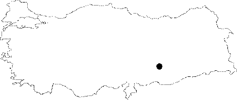
| Location: The mound was located 15.5 km northwest of the Hilvan District as the crow flies; northwest of the Sanliurfa Province before the Atatürk Dam was constructed. It was obscured by the Burhan Village which was also submerged by the dam. It can be seen in the older maps that the name of the village used to be Beddun [Behm-Blancke 1984:134; fig. 28 a-b]. |
| Geography and Environment: The mound was located on the eastern bank of the Euphrates. It was a medium-sized hill. It measured 8 m high and 120 m wide. The settlement was not noticed from the other bank of the river. |
| Destruction Details: The site is flooded by dam reservoir today [TAYEx 29.8.2001]. |