| ©The Archaeological Settlements of Turkey - TAY Project | ||||||
|
|
||||||
Ahlatlibel |
||||||
|
|
||||||
| Ages | Maps | Photos | ||||
| EBA |
 |
 |
||||
|
|
||||||
|
Type:
|
Flat Settlement | |||||
|
Altitude:
|
1200 m | |||||
|
Diameter:
|
m- Direction: | |||||
|
|
||||||
|
Region:
|
Central Anatolia | |||||
|
Province:
|
Ankara | |||||
|
District:
|
Merkez | |||||
|
Village:
|
Yalincak | |||||
|
|
||||||
|
|
||||||
|
|
||||||
|
TAYEx:
|
Not found - 10/7/2002 | |||||
|
|
||||||
|
Registration State:
|
For detailed registration information please refer to Turkish pages. | |||||
 |
||||||
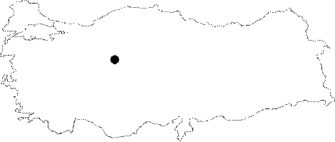
| Location: It is located south-southwest of the Yalincak Köyü; 14 km southwest of the Ankara Province. It lies on the road running to Taspinar; Hacilar; Gavurkalesi and Haymana from Ankara. The name Ahlatlibel is the local name given by the villagers because of the "ahlat" (wild pear) trees in the area. Although during the 2008 ODTÜ Survey the location of the settlement was assumed as approximately 2 km west of Koçumbeli, the exact spot could not be identified. Since a large section in the area was filled with soil deposit just recently, the findspot is presently underneath this deposit [Bertram-Bertram 2010:387]. |
| Geography and Environment: The remains identified as "Castle" stand on a ridge overlooking the wide valley covered with soft inclining hills and somewhat protected from the southeastern winds. The spring called "Giyim Pinari" originating from the bottom of a rock which is 500 m on the northwest probably supplied water to the inhabitants. The rocks near the remains bear traces of moved rocks. It is probable that those quarry stones were used for the foundation of the buildings. The castle most probably belonged to a ruler. It is cited as an "upland settlement" in some publications. |
| Destruction Details: |