| ©The Archaeological Settlements of Turkey - TAY Project | ||||||
|
|
||||||
Harta |
||||||
|
|
||||||
| Ages | Maps | Photos | ||||
| IA |
 |
 |
||||
|
|
||||||
|
Type:
|
Tumulus | |||||
|
Altitude:
|
m | |||||
|
Diameter:
|
m- Direction: | |||||
|
|
||||||
|
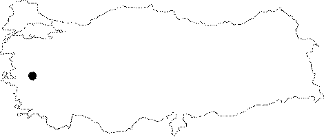
Region:
|
Aegean | |||||
|
Province:
|
Manisa | |||||
|
District:
|
Kirkagaç | |||||
|
Village:
|
Bakir | |||||
|
|
||||||
|
|
||||||
|
|
||||||
|
TAYEx:
|
- | |||||
|
|
||||||
|
Registration State:
|
For detailed registration information please refer to Turkish pages. | |||||
 |
||||||
| Location: It lies 6 km east of the Bakir Town, southeast of the Kirkagaç District in Manisa. It is located 1 km north of the Akhisar-Kirkagaç motorway. |
| Geography and Environment: Resting on a natural rock and elevation, the tumulus overlooks the environment, with a diameter of 30 m and height of 10 m. |
| Destruction Details: |