| ©The Archaeological Settlements of Turkey - TAY Project | ||||||
|
|
||||||
Akalan Kalesi |
||||||
|
|
||||||
| Ages | Maps | Photos | ||||
| EBA IA |
 |
 |
||||
|
|
||||||
|
Type:
|
Mound | |||||
|
Altitude:
|
420 m | |||||
|
Diameter:
|
m- Direction: | |||||
|
|
||||||
|
Region:
|
Black Sea | |||||
|
Province:
|
Samsun | |||||
|
District:
|
Merkez | |||||
|
Village:
|
Çatmaoluk | |||||
|
|
||||||
|
Destruction :
|
Illicit Digging - Attention | |||||
|
|
||||||
|
TAYEx:
|
Visited - 4/9/2003 | |||||
|
|
||||||
|
Registration State:
|
Registered For detailed registration information please refer to Turkish pages. | |||||
 |
||||||
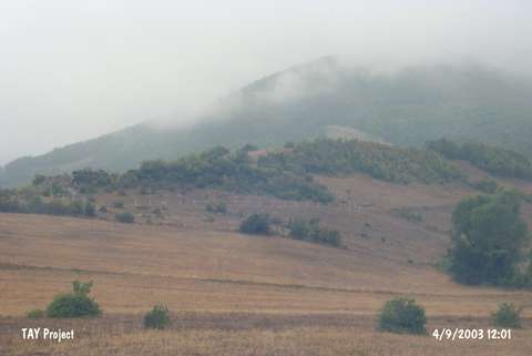
| Location: It is a fortified settlement which lies 2 km to the south of the Yeniköy Quarter in the Çatmaoluk Village, 18 km to the southwest of Samsun. |
| Geography and Environment: It was founded on the steep slope of a high plateau. To the south, north, and west, it is delimited by the Karadere Brook, a tributary of the Kürtün Stream spilling into the Black Sea, and its tributaries. |
| Destruction Details: The settlement has been severely damaged by illicit diggings [TAYEx 4.9.2003]. |