| ©The Archaeological Settlements of Turkey - TAY Project | ||||||
|
|
||||||
Kef Kalesi |
||||||
|
|
||||||
| Ages | Maps | Photos | ||||
| IA |
 |
 |
||||
|
|
||||||
|
Type:
|
Fortress | |||||
|
Altitude:
|
m | |||||
|
Diameter:
|
m- Direction: | |||||
|
|
||||||
|
Region:
|
Eastern Anatolia | |||||
|
Province:
|
Bitlis | |||||
|
District:
|
Adilcevaz | |||||
|
Village:
|
Merkez | |||||
|
|
||||||
|
|
||||||
|
|
||||||
|
TAYEx:
|
- | |||||
|
|
||||||
|
Registration State:
|
For detailed registration information please refer to Turkish pages. | |||||
 |
||||||
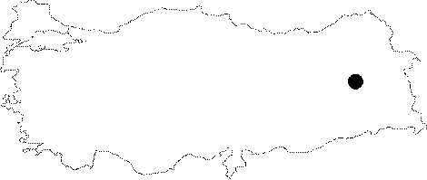
| Location: It is located on the western shore of the Lake Van near the Adilcevaz District of Bitlis. The fortress is also known as "the city of Haldi". |
| Geography and Environment: The fortified city as an Urartian fortress called "Kef Kalesi" was founded on a volcanic hill, lying 6 km north of Adilcevaz. The natural hill is very steep and abrupt on three sides; east, south and west, which are almost inaccessible. The fortress can only be reached from the north.The highest point of the fortress is a rocky promontory on the west-south end, which is 2270 m high above the sea level. Based on this, the Kef Kalesi is approximately 550 m higher than Adilcevaz. The northern section of the hill rising from east to west looks like a mound. |
| Destruction Details: |