| ©The Archaeological Settlements of Turkey - TAY Project | ||||||
|
|
||||||
Tas Kule |
||||||
|
|
||||||
| Ages | Maps | Photos | ||||
| IA |
 |
 |
||||
|
|
||||||
|
Type:
|
Monument Burial | |||||
|
Altitude:
|
m | |||||
|
Diameter:
|
m- Direction: | |||||
|
|
||||||
|
Region:
|
Aegean | |||||
|
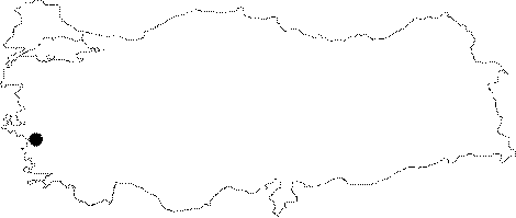
Province:
|
Izmir | |||||
|
District:
|
Foça | |||||
|
Village:
|
Bagarasi | |||||
|
|
||||||
|
|
||||||
|
|
||||||
|
TAYEx:
|
- | |||||
|
|
||||||
|
Registration State:
|
Registered For detailed registration information please refer to Turkish pages. | |||||
 |
||||||
| Location: It is situated next to a bridge from the late Late Ottoman Period near the former Izmir road at the 7th kilometer of the Foça-Izmir Motorway to the east of Foça. The road was probably an extension of the Royal Road linking Susa with Sardis [Özyigit 2003:334]. |
| Geography and Environment: |
| Destruction Details: |