| ©The Archaeological Settlements of Turkey - TAY Project | ||||||
|
|
||||||
Çakilli Tümülüsü |
||||||
|
|
||||||
| Ages | Maps | Photos | ||||
| IA |
 |
 |
||||
|
|
||||||
|
Type:
|
Tumulus | |||||
|
Altitude:
|
m | |||||
|
Diameter:
|
m- Direction: | |||||
|
|
||||||
|
Region:
|
Marmara | |||||
|
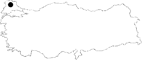
Province:
|
Kirklareli | |||||
|
District:
|
Vize | |||||
|
Village:
|
Çakilli | |||||
|
|
||||||
|
|
||||||
|
|
||||||
|
TAYEx:
|
- | |||||
|
|
||||||
|
Registration State:
|
For detailed registration information please refer to Turkish pages. | |||||
 |
||||||
| Location: It is located 50 m to the right of the Vize-Çakilli motorway at the 14th kilometers near the Çakilli Village, southeast of the Vize District in Kirklareli. |
| Geography and Environment: The tomb rests on a slight elevation at the plain level. On the floor there is a layer of stone including iron from place to place, and again a series of smooth local calcareous rocks in a certain layer. The anterior chamber of the tumulus is like two masonry walls, which consist of clean-cut, loam mortar, moderate-size stone rows. |
| Destruction Details: |