| ©The Archaeological Settlements of Turkey - TAY Project | ||||||
|
|
||||||
Akçalar Höyük |
||||||
|
|
||||||
| Ages | Maps | Photos | ||||
| EBA Greek-Roman |
 |
 |
||||
|
|
||||||
|
Type:
|
Mound | |||||
|
Altitude:
|
1175 m | |||||
|
Diameter:
|
200 m- Direction: NW-SE | |||||
|
|
||||||
|
Region:
|
Central Anatolia | |||||
|
Province:
|
Konya | |||||
|
District:
|
Seydisehir | |||||
|
Village:
|
Akçalar | |||||
|
|
||||||
|
Destruction :
|
Agriculture - Contemporary Settlements | |||||
|
|
||||||
|
TAYEx:
|
Visited - 1/9/2002 | |||||
|
|
||||||
|
Registration State:
|
For detailed registration information please refer to Turkish pages. | |||||
 |
||||||
| Location: |
| Geography and Environment: |
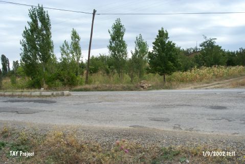
| Destruction Details: Top of the mound is cultivated; there are apple trees on southeast slope and a little hut on west-southwest skirt [TAYEx 1.9.2002]. |