| ©The Archaeological Settlements of Turkey - TAY Project | ||||||
|
|
||||||
Deruk |
||||||
|
|
||||||
| Ages | Maps | Photos | ||||
| Chalcolithic |
 |
 |
||||
|
|
||||||
|
Type:
|
Slope Settlement | |||||
|
Altitude:
|
1020 m | |||||
|
Diameter:
|
m- Direction: | |||||
|
|
||||||
|
Region:
|
Southeastern Anatolia | |||||
|
Province:
|
Siirt | |||||
|
District:
|
Kurtalan | |||||
|
Village:
|
Konakpinar | |||||
|
|
||||||
|
Destruction :
|
Illicit Digging - Agriculture | |||||
|
|
||||||
|
TAYEx:
|
Visited - 5/7/2003 | |||||
|
|
||||||
|
Registration State:
|
For detailed registration information please refer to Turkish pages. | |||||
 |
||||||
| Location: |
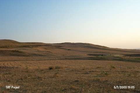
| Geography and Environment: |
| Destruction Details: The settlement is being damaged due to intense cultivation and illicit diggings. It is completely surrounded by fields and there are four pits on its slope [TAYEx 5.7.2003]. |