| ©The Archaeological Settlements of Turkey - TAY Project | ||||||
|
|
||||||
Erikli Deresi |
||||||
|
|
||||||
| Ages | Maps | Photos | ||||
| Palaeolithic/Epipalaeolithic |
 |
 |
||||
|
|
||||||
|
Type:
|
Single Findspot | |||||
|
Altitude:
|
m | |||||
|
Diameter:
|
m- Direction: | |||||
|
|
||||||
|
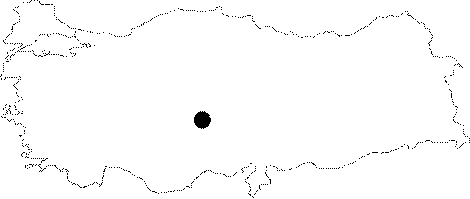
Region:
|
Central Anatolia | |||||
|
Province:
|
Nigde | |||||
|
District:
|
Merkez | |||||
|
Village:
|
Kömürcü | |||||
|
|
||||||
|
|
||||||
|
|
||||||
|
TAYEx:
|
Not visited - 6/8/2002 | |||||
|
|
||||||
|
Registration State:
|
For detailed registration information please refer to Turkish pages. | |||||
 |
||||||
| Location: This site lies in the second valley after the Körkuyu Valley east of the village of Kömürcü; which is north-northwest of the city of Nigde. Balkan-Atli notes that the site is approximately 2 km from the village. The survey code of the site is P 35 / 17. |
| Geography and Environment: The seasonal Erikli Stream forks as it flows downstream to the north. The densest source of obsidian in the region lies on both banks of the wide-sided valley. The brittle black obsidian has some red inclusions in it. |
| Destruction Details: |