| ©The Archaeological Settlements of Turkey - TAY Project | ||||||
|
|
||||||
Gebeceler |
||||||
|
|
||||||
| Ages | Maps | Photos | ||||
| EBA |
 |
 |
||||
|
|
||||||
|
Type:
|
Mound | |||||
|
Altitude:
|
1035 m | |||||
|
Diameter:
|
116 m- Direction: NE-SW | |||||
|
|
||||||
|
Region:
|
Aegean | |||||
|
Province:
|
Afyonkarahisar | |||||
|
District:
|
Merkez | |||||
|
Village:
|
Gebeceler | |||||
|
|
||||||
|
Destruction :
|
Contemporary Settlements | |||||
|
|
||||||
|
TAYEx:
|
Visited - 9/7/2004 | |||||
|
|
||||||
|
Registration State:
|
Registered For detailed registration information please refer to Turkish pages. | |||||
 |
||||||
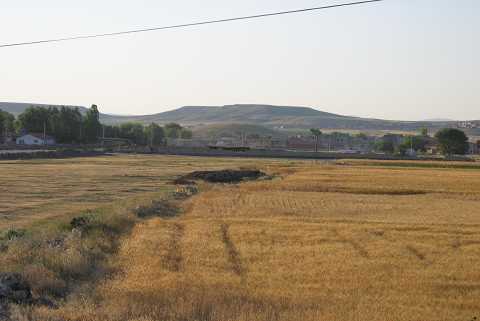
| Location: |
| Geography and Environment: |
| Destruction Details: Soil was removed from the south-southeastern skirt of the mound. On the west-southwestern skirt is a village house. Traces of illicit diggings were observed on the upper part [TAYEx 9.7.2004]. |