| ©The Archaeological Settlements of Turkey - TAY Project | ||||||
|
|
||||||
Gebrem Höyük |
||||||
|
|
||||||
| Ages | Maps | Photos | ||||
| EBA |
 |
 |
||||
|
|
||||||
|
Type:
|
Mound | |||||
|
Altitude:
|
1210 m | |||||
|
Diameter:
|
m- Direction: | |||||
|
|
||||||
|
Region:
|
Mediterranean | |||||
|
Province:
|
Burdur | |||||
|
District:
|
Yesilova | |||||
|
Village:
|
Çaltepe | |||||
|
|
||||||
|
Destruction :
|
Illicit Digging - Agriculture | |||||
|
|
||||||
|
TAYEx:
|
Visited - 12/6/2001 | |||||
|
|
||||||
|
Registration State:
|
Registered For detailed registration information please refer to Turkish pages. | |||||
 |
||||||
| Location: |
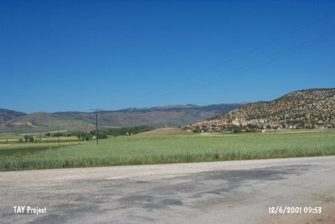
| Geography and Environment: |
| Destruction Details: The site has been damaged due to agricultural activities and illicit diggings. Top and western sections are leveled and skirts are terraced. There are pits of illicit diggings on it [TAYEx 12.6.2001]. |