|
|
||||
|
|
||||
|
Üçagizli Magarasi |
||||
|
For cave maps and drawings please click on the picture... |
For photographs please click on the photo... |
|||
|
 |
|||
|
Type: |
Cave | |||
|
Altitude: |
20 m | |||
|
Depth: |
m | |||
|
Length: |
m | |||
|
Region: |
Mediterranean | |||
|
Province: |
Hatay | |||
|
District: |
Yayladagi | |||
|
Village: |
Meydan | |||
|
|
||||
 |
||||
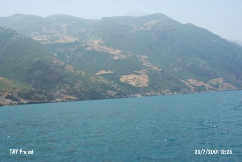
| Location: The cave is located at Yayladagi district, 1 km south of Meydan Quarter, east-southeast of Senköy Quarter, south of Samandag district, southwest of Hatay (Merkez). The cave is at approximately 10 km south of Asi River, at the foothills of Al Ansariye Mountain, at the northeastern slope of Kel Mountains. |
| Structural Properties and formation : The cave was formed by natural causes within the Cretaceous calcareous rocks. It is approximately 18 m higher than the present sea level. The entrance is facing southwest. A survey traverse revealed that a space of 200 squaremeters used to be inhabited in the cave. The anthropic sediment accumulations stuck on the side walls of the cave are 2 m thick. Fresh water resources are very close. Presence of many caves especially inside and on the northern part of the Meydan Village has been indicated in the 1:100.000 scale map. |
| Research History: It was excavated by Angela Minzoni-Deroche between 1988-90. Two trenches; each up to 9 squaremeters; were opened in the first year of the excavations. |
| Findings: Palaeolithic industry reminding of the Aurignacian industries of the Levant region could be traced in the cave; depending on the construction techniques of the tools; cores and construction forms of the reprocessed pieces. |