|
|
||||
|
|
||||
|
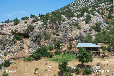
Direkli Magarasi |
||||
|
For cave maps and drawings please click on the picture... |
For photographs please click on the photo... |
|||
|
 |
|||
|
Type: |
Cave | |||
|
Altitude: |
1130 m | |||
|
Depth: |
m | |||
|
Length: |
m | |||
|
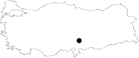
Region: |
Mediterranean | |||
|
Province: |
Kahramanmaras | |||
|
District: |
Merkez | |||
|
Village: |
Döngel | |||
|
|
||||
 |
||||
| Location: This cave-site lies east of the former settlement of Döngel Village and west of the new one which is 38 km; as the crow flies; northwest of the city of Kahramanmaras. |
| Structural Properties and formation : The entrance of the cave facing south is protected from cold due to the mountains to the north. It houses a thick embankment inside. The Döngel Village and its vicinity are very suitable for settlement in terms of vegetation and climate. Formed within a karstic region; there are several caves in the neighbourhood the cave; some being suitable for settlement. Dimensions of the cave has not been provided in the publication by K. Kökten. It was probably named after the stalagmite inside by the local people. |
| Research History: Discovered in 1958 by K. Kökten; a test excavation was carried out in 1959 in order to find out traces of any settlement. The trench opened by Kökten; near the entrance; is 3x4 m. |
| Findings: Among findings which were dated back to the Palaeolithic Age are blade-pocket knifes; perforators; chisels; scrapers and cores made of flintstone. One of the most important findings of the cave is the tooth and skeletal remains of a group of carnivorous; herbivorous and gnawing animals dating to the Upper Pleistocene epoch. It has been found that the bones are from animals like bear; dog; ox; deer; pig and beaver. |