|
©The Archaeological Settlements of Turkey - TAY Project
|
|
|
|
|
|
Gökhöyük (Kirsehir-1) |
|
|
For site maps and drawings please click on the picture...  |
For photographs please click on the photo... 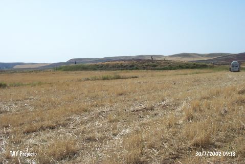 |
|
Type:
|
Mound |
|
Altitude:
|
705 m |
|
Region:
|
Central Anatolia |
|
Province:
|
Kirsehir |
|
District:
|
Çiçekdagi |
|
Village:
|
Konurkale |
|
Investigation Method:
|
Survey |
|
Period:
|
|
|
|
|
 |
|
| It lies 150 m south of the Delice River; 30 km west of Çiçekdagi; east of Konurkale Village; north of Kirsehir Province. 2 km north of the site passes the Ankara-Kayseri motorway. east of the mound lies the site of Gökhöyük (Kirsehir-2). It measures 3 m in height and 135 m in diameter. The pottery collected from the surface exposes the presence of the third and first millennia BC settlements. Black and red; nail impressed pottery of EBA was recovered. It takes place in the registered archaeological sites list prepared by Ministry of Culture and Tourism. |
| Location: |
| Geography and Environment: |
| History: |
| Research and Excavation: |
| Stratigraphy: |
| Small Finds: |
| Remains: |
| Interpretation and Dating: |