| ©The Archaeological Settlements of Turkey - TAY Project | ||||||
|
|
||||||
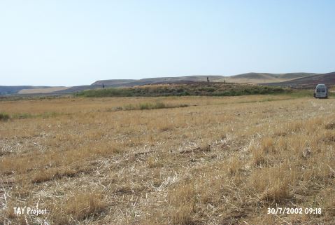
Gökhöyük (Kirsehir-1) |
||||||
|
|
||||||
| Ages | Maps | Photos | ||||
| EBA IA |
 |
 |
||||
|
|
||||||
|
Type:
|
Mound | |||||
|
Altitude:
|
705 m | |||||
|
Diameter:
|
95 m- Direction: SE-NW | |||||
|
|
||||||
|
Region:
|
Central Anatolia | |||||
|
Province:
|
Kirsehir | |||||
|
District:
|
Çiçekdagi | |||||
|
Village:
|
Konurkale | |||||
|
|
||||||
|
Destruction :
|
Agriculture | |||||
|
|
||||||
|
TAYEx:
|
Visited - 30/7/2002 | |||||
|
|
||||||
|
Registration State:
|
Registered For detailed registration information please refer to Turkish pages. | |||||
 |
||||||
| Location: |
| Geography and Environment: |
| Destruction Details: The mound has been damaged due to agricultural activities. There are deep plow marks on the surface [TAYEx 30.7.2002]. |