|
©The Archaeological Settlements of Turkey - TAY Project
|
|
|
|
|
|
Karagündüz |
|
|
For site maps and drawings please click on the picture...  |
For photographs please click on the photo... 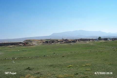 |
|
Type:
|
Mound |
|
Altitude:
|
1800 m |
|
Region:
|
Eastern Anatolia |
|
Province:
|
Van |
|
District:
|
Merkez |
|
Village:
|
Karagündüz |
|
Investigation Method:
|
Excavation |
|
Period:
|
|
|
|
|
 |
|
| Location: It lies where the Eski Karagündüz (Sarokonis) Village is located; 6 km north of the Erçek Sub-District; 34 km northeast of Van Province. Van-Özalp motorway passes from 4.8 km southeast of the mound. New village is being established 2 km northeast of the mound due to the increase in the water level. |
| Geography and Environment: It is located on the western end of the Erçek Düzü formed by the Memedik Stream spilling to the lake on the east- northeast of the Erçek Village. It is reported that the trade road running from Özalp and reaching out to Van passed through this lowland and the mound is the highest mound of the Van region. It is claimed that the mound which measures 8-9 m in height and ca. 75x50 m in dimensions has a 6-7 m thick cultural deposit belonging to EBA. There is a carved marble stone with the dimensions of 145x107x53 cm on the mound. |
| History: |
| Research and Excavation: It was introduced as an EBA settlement by C.A. Burney in 1956 [Burney 1958:178; 192]; and excavated by V. Sevin from 1995 as the waters of the Lake Erçek rose and threatened the mound [Sevin 1996:338-339]. It takes place in the registered archaeological sites list prepared by Ministry of Culture and Tourism. |
| Stratigraphy: Layering of the mound is as follows; 1. building level: Middle Age cemetery 2. building level: Middle Age 3. building level: Late Iron Age 4c. building level: Middle Iron Age (Post Urartu, Med) 4b. building level: Middle Iron Age (Urartu Period) 4a. building level: Middle Iron Age (Urartu Period) 5. building level: Early Iron Age 6. building level: Middle and Late Bronz Age 7. building level: Early Transkafkasian Period |
| Small Finds: Architecture: 7th building level of the mound yielded a construction comprising rectangular planned buildings on both sides of a 5 m wide street in the east-west direction. The buildings have 40-45 cm thick mudbrick walls. No stone foundations were found. It is suggested that they were entered through the hatches in the flat roofs. One of them measures 4.5x3.9 m having a small hearth of 30 cm in the center of the building [Sevin et al. 1998:579-580; pict.6-7]. In some buildings; two hearths were found side by side; adjacent to the wall. Ceramics: The surface finds and the 7th building level of the mound yielded EBA pottery of Eastern Anatolia (Karaz/Kura Aras region). Exteriorly and interiorly black-burnished ware is dominant. The vessels were well polished by applying graphite. Jugs with S-shaped profiles; round or flat bottoms and bowls with out-rolled rims are popular. They are heavily decorated [Sevin-Kavaklı 1996:pic.8; Sevin et al. 1998:579-580; pic.8]. Groove/fluted decoration is common as well as the incision decorated vessels; however relief decorated vessels are very rare. Also found are channelled spirals; triangles filled in with vertical lines and bands as well as handles called Nakhichevan/Nahçevan type and vessels having finger-print depressions. Other: Spindle whorls in terra cotta; stone necklaces; bone awls and bronze arrowheads were recovered. |
| Remains: |
| Interpretation and Dating: V. Sevin highlights that particularly vessels with fluted decorations were not recovered from the EBA levels of Van Ernis; Van Dilkaya and Van Kalesi Höyügü whereas vessels with spiral patterns; incised decorations of triangles and bands filled in with vertical lines are common in the region of the Kura-Aras rivers; in Martkopi and Bedeni Cultures during EBA and transition from EBA to MBA (former Kurgans Period). The EBA levels of the mound are rich. |