|
©The Archaeological Settlements of Turkey - TAY Project
|
|
|
|
|
|
Kilisetepe |
|
|
For site maps and drawings please click on the picture...  |
For photographs please click on the photo... 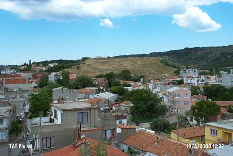 |
|
Type:
|
Mound |
|
Altitude:
|
20 m |
|
Region:
|
Marmara |
|
Province:
|
Çanakkale |
|
District:
|
Eceabat |
|
Village:
|
Merkez |
|
Investigation Method:
|
Excavation |
|
Period:
|
Late |
|
|
|
 |
|
| The large mound lies on the natural hill labeled Myndos Kalesi which falls 500 m south of Eceabad village northwest of Çanakkale. The mound measures 250 m in diameter with an essential cone of 25-30 m of height. Just at the northwest end of the mound is a spring Ğnamely AyazmaÑand on the mound are the ruins of a Medieval castle which was destroyed in World War I. The sherds collected during the 1982 survey by M. Özdogan hint the existence of levels corresponding to phases between Kumtepe I b (Late Chalcolithic Age) and Troy VI. Among other finds; some flake tools out of flint may be dating to earlier periods. The location code is H 2 / 1. It takes place in the registered archaeological sites list prepared by Ministry of Culture and Tourism. |
| Location: Also known as Maydos Kale (Maydos castle); it is located in the district of Eceabat; north-northwest of Çanakkale Province. |
| Geography and Environment: It measures ca. 250 m in diameter; and 25-30 m in height. It has been partly damaged by the contemporary settlement. To the northwest lies a fresh water spring called Ayazma. A Middle Age castle destroyed during the Çanakkale Campaign rises on the top hill. |
| History: |
| Research and Excavation: |
| Stratigraphy: |
| Small Finds: |
| Remains: |
| Interpretation and Dating: |