| ©The Archaeological Settlements of Turkey - TAY Project | ||||||
|
|
||||||
Kilisetepe |
||||||
|
|
||||||
| Ages | Maps | Photos | ||||
| Chalcolithic EBA IA |
 |
 |
||||
|
|
||||||
|
Type:
|
Mound | |||||
|
Altitude:
|
20 m | |||||
|
Diameter:
|
m- Direction: | |||||
|
|
||||||
|
Region:
|
Marmara | |||||
|
Province:
|
Çanakkale | |||||
|
District:
|
Eceabat | |||||
|
Village:
|
Merkez | |||||
|
|
||||||
|
Destruction :
|
Contemporary Settlements - Highways, roads, bridges etc. - Attention | |||||
|
|
||||||
|
TAYEx:
|
Visited - 19/6/2000 | |||||
|
|
||||||
|
Registration State:
|
Registered For detailed registration information please refer to Turkish pages. | |||||
 |
||||||
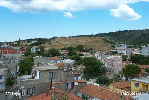
| Location: Also known as Maydos Kale (Maydos castle); it is located in the district of Eceabat; north-northwest of Çanakkale Province. |
| Geography and Environment: It measures ca. 250 m in diameter; and 25-30 m in height. It has been partly damaged by the contemporary settlement. To the northwest lies a fresh water spring called Ayazma. A Middle Age castle destroyed during the Çanakkale Campaign rises on the top hill. |
| Destruction Details: A water reservoir has been built on the southwestern section of the mound. The cultural fill in this area is completely damaged. Illicit pits were also observed here. Houses have been built on the northern skirts of the mound. The road to the top of the hill encircles the mound from east to west and reaches the water reservoir. There is a high section formed by earth removal on the western portion [TAYEx 19.6.2000]. |