|
©The Archaeological Settlements of Turkey - TAY Project
|
|
|
|
|
|
Karaz |
|
|
For site maps and drawings please click on the picture...  |
For photographs please click on the photo... 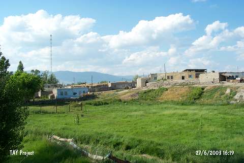 |
|
Type:
|
Mound |
|
Altitude:
|
1800 m |
|
Region:
|
Eastern Anatolia |
|
Province:
|
Erzurum |
|
District:
|
Merkez |
|
Village:
|
Karaz |
|
Investigation Method:
|
Excavation |
|
Period:
|
Middle Iron Age |
|
|
|
 |
|
| It is situated almost in the center of the Karaz Village 5 km north of Ilica Train Station 16 km northwest of Erzurum Province center. The mound which is 16 m high and 200 m in diameter is destroyed at present. The excavations were conducted by H.Z. Kosay and K. Turfan for the Turkish Historical Foundation between 1942 and 1944, and 15 building levels were found between Chalcolithic Age and Byzantine Period. The 8th and 12th building levels were destroyed due to fire, and almost all levels contain obsidian, metallic artifacts, monochromatic and geometric sherds were revealed. The mound was subject to many illicit diggings. It takes place in the registered archaeological sites list prepared by Ministry of Culture and Tourism. Erzurum il merkezinin 16 km kuzeybatısında, Ilıca İstasyonu'nun 5 km kuzeyinde, Karaz Köyü'nün hemen hemen ortasındadır. 16 m yüksekliğindeki ve 200 m çapındaki höyük bugün oldukça tahrip olmuştur. Türk Tarih Kurumu adına H.Z. Koşay ve K. Turfan tarafından 1942 ve 1944 yıllarında yapılan kazılarda, Kalkolitik Çağ'dan Bizans Dönemi'ne kadar uzanan 15 yapı katı tespit edilmiştir. 8. ve 12. yapı katları yangın geçirmiş olan Prehistorik höyüğün hemen hemen her katında bol miktarda obsidien, madeni eser, tek renkli ve geometrik süslemeli çanak çömlek ele geçmiştir. Höyükte, bol miktarda kaçak kazı yapılmıştır. |
| Location: It is located to the village of Karaz (Karamanlar); 5 km north of the Ilica Sub-District; about 16 km west-northwest of the Erzurum Province [Kosay-Turfan 1959:349]. |
| Geography and Environment: It is a medium sized mound; 16 m in height and ca. 20 m in diameter. It has been completely obscured by the houses of the modern village [Kosay-Turfan 1959:map.2]. Southern part faces the plain irrigated by the Karasu Stream. It is surrounded by a fertile land suitable both for cropping and pasture. It has been severely damaged by the local villagers who removed soil and stones from the mound. Leaders of the excavation claim that no good results can be obtained from the upper levels. To the south lies another flat hill; probably consisting of remains of a late period which this exposes that the mound has more than one core. |
| History: |
| Research and Excavation: |
| Stratigraphy: |
| Small Finds: |
| Remains: |
| Interpretation and Dating: |