|
©The Archaeological Settlements of Turkey - TAY Project
|
|
|
|
|
|
Nervan Tepe |
|
|
For site maps and drawings please click on the picture... 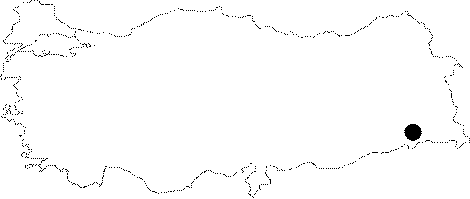 |
For photographs please click on the photo...  |
|
Type:
|
Mound |
|
Altitude:
|
415 m |
|
Region:
|
Southeastern Anatolia |
|
Province:
|
Sirnak |
|
District:
|
Silopi |
|
Village:
|
Kavalli |
|
Investigation Method:
|
Survey |
|
Period:
|
|
|
|
|
 |
|
| It is situated in the Kavalli Village of Silopi. It can be accessed from the Silopi junction driving 7 km to the southwest. TIt measures 210x400x16 m in dimensions. Many illicit dug pits are observed particularly on the southwest section. The northeast section has been occupied by a modern cemetery. Among the important finds are pottery, dense piles of sherds (particularly on the southern section), grinding stone, late period pipe fragments and flintstone. Sherds can be classified as incision decorated Amique B, Neolithic Age, limited number of Halafian, Ubaid, Late Chalcolithic, 3rd Millennium BC local metallic ware (?), 2nd Millennium BC storage pithoi, Habur and Iron Age pottery [Kozbe 2006b:296]. |
| Location: The mound lies in Kavakli Village; 7 km southwest of Silopi District; south of Sirnak. It is cited as "the mound near Nervan" in the research by Algaze and named as Nervan (Nehirvan) by G. Kozbe. |
| Geography and Environment: The site located on the east bank of Surik Stream is 3 km from Takyan Tepe and stands upon the accumulated deposit of Silopi Plain. It is 16 m high mound; measuring 210 m in east-west direction and 400 m in north-south direction. The settlements in this region are concentrated near natural fresh water springs and on low terraces of the rivers and streams that are active all through the year. The height of such terraces from river beds vary between 4 m and 15 m. |
| History: |
| Research and Excavation: |
| Stratigraphy: |
| Small Finds: |
| Remains: |
| Interpretation and Dating: |