| ©The Archaeological Settlements of Turkey - TAY Project | ||||||
|
|
||||||
Nervan Tepe |
||||||
|
|
||||||
| Ages | Maps | Photos | ||||
| Chalcolithic IA |
 |
 |
||||
|
|
||||||
|
Type:
|
Mound | |||||
|
Altitude:
|
415 m | |||||
|
Diameter:
|
m- Direction: | |||||
|
|
||||||
|
Region:
|
Southeastern Anatolia | |||||
|
Province:
|
Sirnak | |||||
|
District:
|
Silopi | |||||
|
Village:
|
Kavalli | |||||
|
|
||||||
|
Destruction :
|
Illicit Digging - Agriculture - Contemporary Settlements | |||||
|
|
||||||
|
TAYEx:
|
Not visited - 19/9/2001 | |||||
|
|
||||||
|
Registration State:
|
For detailed registration information please refer to Turkish pages. | |||||
 |
||||||
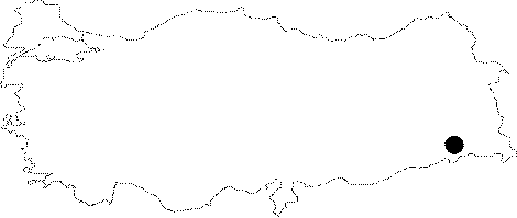
| Location: The mound lies in Kavakli Village; 7 km southwest of Silopi District; south of Sirnak. It is cited as "the mound near Nervan" in the research by Algaze and named as Nervan (Nehirvan) by G. Kozbe. |
| Geography and Environment: The site located on the east bank of Surik Stream is 3 km from Takyan Tepe and stands upon the accumulated deposit of Silopi Plain. It is 16 m high mound; measuring 210 m in east-west direction and 400 m in north-south direction. The settlements in this region are concentrated near natural fresh water springs and on low terraces of the rivers and streams that are active all through the year. The height of such terraces from river beds vary between 4 m and 15 m. |
| Destruction Details: There are many pits of illicit diggings on top hill and especially on the southwestern part of the mound. Northeast part is occupied by the contemporary cemetery and the southern section is terraced [Kozbe 2004]. |