| ©The Archaeological Settlements of Turkey - TAY Project | ||||||
|
|
||||||
Güzir Höyük |
||||||
|
|
||||||
| Ages | Maps | Photos | ||||
| Neolithic |
 |
 |
||||
|
|
||||||
|
Type:
|
Mound | |||||
|
Altitude:
|
700 m | |||||
|
Diameter:
|
m- Direction: | |||||
|
|
||||||
|
Region:
|
Southeastern Anatolia | |||||
|
Province:
|
Siirt | |||||
|
District:
|
Eruh | |||||
|
Village:
|
Baggöze | |||||
|
|
||||||
|
|
||||||
|
|
||||||
|
TAYEx:
|
Not visited - | |||||
|
|
||||||
|
Registration State:
|
For detailed registration information please refer to Turkish pages. | |||||
 |
||||||
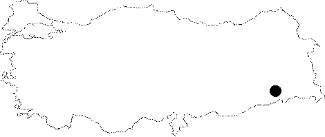
| Location: This site lies south of the city of Siirt; west of the town of Eruh and northwest of the village of Baggözü (also known as Girden). |
| Geography and Environment: The site is located by Güsir Lake; which is fed by Botan (Bohtan) Stream; a tributary of the Tigris River and Kavaközü Stream. This lake appears on map section M 47 on a 1:100.000 scaled map. Although the mound is reported to be "middle-sized" the exact dimensions have not been given. When the site was surveyed in 1988-90; the upper part of the mound was reported to be used; as a grove while the bottom part was a rice field. Kavaközü Stream forks by the flat area by the mound. There appears to be a 3-4 m thick material cultural deposit on the side of the mound that faces the lake. From the artifact distributions; it has been determined that the size of the mound is 2-3 hectares. |
| Destruction Details: |