| ©The Archaeological Settlements of Turkey - TAY Project | ||||||
|
|
||||||
Hocaçesme |
||||||
|
|
||||||
| Ages | Maps | Photos | ||||
| Neolithic Chalcolithic 14C |
 |
 |
||||
|
|
||||||
|
Type:
|
Mound | |||||
|
Altitude:
|
60 m | |||||
|
Diameter:
|
m- Direction: | |||||
|
|
||||||
|
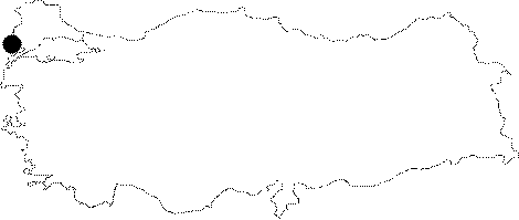
Region:
|
Marmara | |||||
|
Province:
|
Edirne | |||||
|
District:
|
Enez | |||||
|
Village:
|
Yenice | |||||
|
|
||||||
|
Destruction :
|
Agriculture - Highways, roads, bridges etc. | |||||
|
|
||||||
|
TAYEx:
|
Visited - 16/6/2000 | |||||
|
|
||||||
|
Registration State:
|
For detailed registration information please refer to Turkish pages. | |||||
 |
||||||
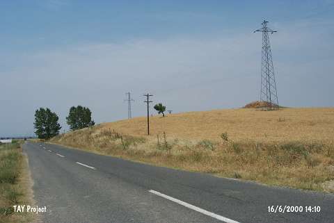
| Location: The site lies south-southwest of Edirne; 4 km southeast of Enez District; north of the fountain (known as Hocaçesme or Çobançesme); at the north side of the road after 2 km from Yenice Village. |
| Geography and Environment: It is a small mound; measuring 70x80 m in diameter. It is located at the edge of an approximately 300 m long natural ridge (for detailed information see. Harmankaya et al. 1997:Hocaçesme). The mound is located at the starting of Maritsa delta; extending from Enez to Middle Thrace and Bulgaria. |
| Destruction Details: The architectural remains recovered during the excavations were not taken under preservation. The area except for the trenches is being used as a field [TAYEx 16.6.2000]. |