| ©The Archaeological Settlements of Turkey - TAY Project | ||||||
|
|
||||||
Ishakli / Sultandagi |
||||||
|
|
||||||
| Ages | Maps | Photos | ||||
| Neolithic EBA |
 |
 |
||||
|
|
||||||
|
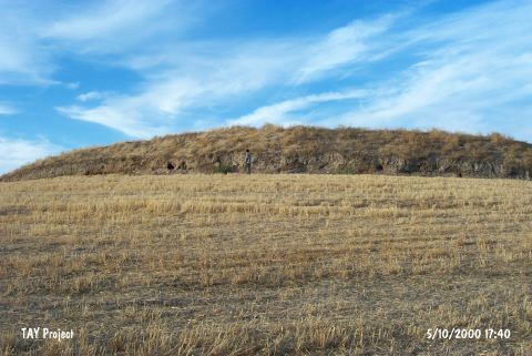
Type:
|
Mound | |||||
|
Altitude:
|
550 m | |||||
|
Diameter:
|
m- Direction: | |||||
|
|
||||||
|
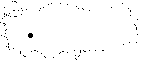
Region:
|
Aegean | |||||
|
Province:
|
Afyonkarahisar | |||||
|
District:
|
Sultandag | |||||
|
Village:
|
Merkez | |||||
|
|
||||||
|
Destruction :
|
Agriculture | |||||
|
|
||||||
|
TAYEx:
|
Visited - 5/10/2000 | |||||
|
|
||||||
|
Registration State:
|
For detailed registration information please refer to Turkish pages. | |||||
 |
||||||
| Location: |
| Geography and Environment: |
| Destruction Details: The mound is being damaged due to agricultural activities. Its southern section was cut and its surface was leveled [TAYEx 5.10.2000]. |