| ©The Archaeological Settlements of Turkey - TAY Project | ||||||
|
|
||||||
Laodikeia Katakekaumene |
||||||
|
|
||||||
| Ages | Maps | Photos | ||||
| Greek-Roman |
 |
 |
||||
|
|
||||||
|
Type:
|
City | |||||
|
Altitude:
|
m | |||||
|
Diameter:
|
m- Direction: | |||||
|
|
||||||
|
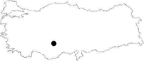
Region:
|
Central Anatolia | |||||
|
Province:
|
Konya | |||||
|
District:
|
Sarayönü | |||||
|
Village:
|
Ladik | |||||
|
|
||||||
|
|
||||||
|
|
||||||
|
TAYEx:
|
- | |||||
|
|
||||||
|
Registration State:
|
For detailed registration information please refer to Turkish pages. | |||||
 |
||||||
| Location: It is located at the 40th km of the Konya - Afyonkarahisar motorway; 10 km southwest of the Sarayonu District; northwest of the Konya Province. |
| Geography and Environment: Laodicea Catacecaumene is situated on a fertile slope of the Sultan Mountains. |
| Destruction Details: |