| ©The Archaeological Settlements of Turkey - TAY Project | ||||||
|
|
||||||
Amarsava |
||||||
|
|
||||||
| Ages | Maps | Photos | ||||
| Neolithic Chalcolithic IA |
 |
 |
||||
|
|
||||||
|
Type:
|
Mound | |||||
|
Altitude:
|
400 m | |||||
|
Diameter:
|
m- Direction: | |||||
|
|
||||||
|
Region:
|
Southeastern Anatolia | |||||
|
Province:
|
Sirnak | |||||
|
District:
|
Silopi | |||||
|
Village:
|
Bugdayli | |||||
|
|
||||||
|
Destruction :
|
Illicit Digging - Agriculture - Highways, roads, bridges etc. | |||||
|
|
||||||
|
TAYEx:
|
Not visited - 19/9/2001 | |||||
|
|
||||||
|
Registration State:
|
For detailed registration information please refer to Turkish pages. | |||||
 |
||||||
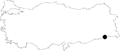
| Location: |
| Geography and Environment: |
| Destruction Details: The mound is being damaged due to agricultural activities; illicit diggings and the pathway on southern part. There are deep plow marks on the mound and pits on western slope [G. Kozbe 2004]. |