| ©The Archaeological Settlements of Turkey - TAY Project | ||||||
|
|
||||||
Nevali Çori |
||||||
|
|
||||||
| Ages | Maps | Photos | ||||
| Neolithic Chalcolithic EBA 14C |
 |
 |
||||
|
|
||||||
|
Type:
|
Mound | |||||
|
Altitude:
|
490 m | |||||
|
Diameter:
|
m- Direction: | |||||
|
|
||||||
|
Region:
|
Southeastern Anatolia | |||||
|
Province:
|
Sanliurfa | |||||
|
District:
|
Hilvan | |||||
|
Village:
|
Gülusagi | |||||
|
|
||||||
|
Destruction :
|
Dams | |||||
|
|
||||||
|
TAYEx:
|
Not visited - 29/8/2001 | |||||
|
|
||||||
|
Registration State:
|
Registered For detailed registration information please refer to Turkish pages. | |||||
 |
||||||
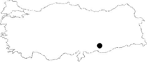
| Location: This site lies north of the city of Sanliurfa; west of the town of Hilvan; approximately 750 m northwest of the village of Gülusagi; between Kantara and the Süleymanbey neighborhood. |
| Geography and Environment: The name of the site has appeared differently in a number of publications including Nevalla Çori; Nevali Çori and Novalo Çori. The site lies in two places in the area where Kantara Stream meanders west and then north; one is on the western bank of Kantara Stream; close to the dam lake and the other is on the eastern bank of this stream; at the foot of Mount Yangintepe limestone outcrop in a 90x40 m area between two dried stream beds. While looking at the old Euphrates River from the village of Kantara; the site on the east was Nevali Çori I while the site on the west was Nevali Çori II. Excavation down to virgin soil has determined that the cultural material deposition at Nevali Çori I is 2 m thick. This site was settled in many periods after the Aceramic Neolithic. This is probably due to the fact that the Kantara Valley; literally the "Valley of Illnesses"; is rich in springs. The site has been partially flooded by the dam lake; which is now receding into the Kantara Stream Valley. |
| Destruction Details: The site is flooded by dam reservoir today [TAYEx 29.8.2001]. |