| ©The Archaeological Settlements of Turkey - TAY Project | ||||||
|
|
||||||
Tilmen Höyük |
||||||
|
|
||||||
| Ages | Maps | Photos | ||||
| Chalcolithic EBA IA |
 |
 |
||||
|
|
||||||
|
Type:
|
Mound | |||||
|
Altitude:
|
863 m | |||||
|
Diameter:
|
m- Direction: | |||||
|
|
||||||
|
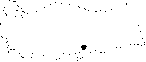
Region:
|
Mediterranean | |||||
|
Province:
|
Gaziantep | |||||
|
District:
|
Islahiye | |||||
|
Village:
|
Bostanaga | |||||
|
|
||||||
|
Destruction :
|
Natural causes | |||||
|
|
||||||
|
TAYEx:
|
Visited - 24/8/2001 | |||||
|
|
||||||
|
Registration State:
|
Registered For detailed registration information please refer to Turkish pages. | |||||
 |
||||||
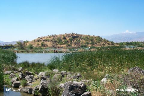
| Location: The site lies approximately 10 km east of Islahiye District; in Gaziantep; 1800 m south of Bostanaga Village; north of the road leading to Islahiye. |
| Geography and Environment: Tilmen; located on a desiccated swamp area surrounded by the branches of Karasu River; is 21 m high; and measures 225 m in diameter. However; its original round shape had a diameter of 245 m before the central part extended towards west through time and the mound became ovoid as a result. It measures 200x125 m for now [Alkim 1964:169]. |
| Destruction Details: The east; north and northwest skirts of the mound are crossed by Karasu Stream [TAYEx 24.8.2001]. |