| ©The Archaeological Settlements of Turkey - TAY Project | ||||||
|
|
||||||
Yörüklü / Hüseyindede |
||||||
|
|
||||||
| Ages | Maps | Photos | ||||
| EBA |
 |
 |
||||
|
|
||||||
|
Type:
|
Flat Settlement | |||||
|
Altitude:
|
735 m | |||||
|
Diameter:
|
110 m- Direction: S-N | |||||
|
|
||||||
|
Region:
|
Central Anatolia | |||||
|
Province:
|
Çorum | |||||
|
District:
|
Sungurlu | |||||
|
Village:
|
Yörüklü | |||||
|
|
||||||
|
Destruction :
|
Agriculture | |||||
|
|
||||||
|
TAYEx:
|
Visited - 20/7/2002 | |||||
|
|
||||||
|
Registration State:
|
For detailed registration information please refer to Turkish pages. | |||||
 |
||||||
| Location: |
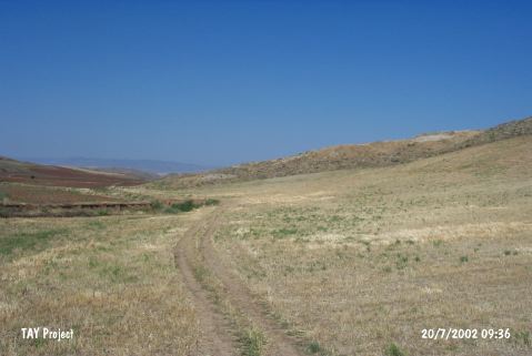
| Geography and Environment: |
| Destruction Details: The eastern part of the site is being cultivated [TAYEx 20.7.2002]. |