| ©The Archaeological Settlements of Turkey - TAY Project | ||||||
|
|
||||||
Zeytinlibahçe Höyük |
||||||
|
|
||||||
| Ages | Maps | Photos | ||||
| Chalcolithic EBA IA |
 |
 |
||||
|
|
||||||
|
Type:
|
Mound | |||||
|
Altitude:
|
490 m | |||||
|
Diameter:
|
m- Direction: | |||||
|
|
||||||
|
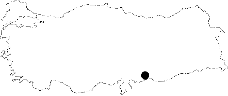
Region:
|
Southeastern Anatolia | |||||
|
Province:
|
Sanliurfa | |||||
|
District:
|
Birecik | |||||
|
Village:
|
Mezraa | |||||
|
|
||||||
|
Destruction :
|
Agriculture | |||||
|
|
||||||
|
TAYEx:
|
Visited - 14/8/2001 | |||||
|
|
||||||
|
Registration State:
|
Registered For detailed registration information please refer to Turkish pages. | |||||
 |
||||||
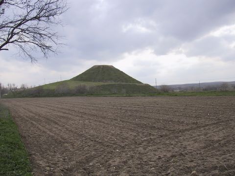
| Location: The mound lies west of Sanliurfa; 3 km south of Birecik; 1.4 km north of Mezraa village. |
| Geography and Environment: It is a conical and ovoid mound with an approximate height of 31 m [Deveci-Mergen 1999b:fig.2]. It measures 190 m in north-south; 140 m in east-west directions. The site covers an area of about 2.6 hectares and it is about 340 m above sea level. The site is located in the middle of fields and to the north of it there is a road running parallel to Euphrates. The foots of the settlement were cut for agriculture. |
| Destruction Details: The mound is partly being used for agricultural activities. There are pistachio; olive and fruit trees on it [TAYEx 14.8.2001]. |