| ©The Archaeological Settlements of Turkey - TAY Project | ||||||
|
|
||||||
Sinnep Höyük (North) |
||||||
|
|
||||||
| Ages | Maps | Photos | ||||
| Chalcolithic EBA IA |
 |
 |
||||
|
|
||||||
|
Type:
|
Mound | |||||
|
Altitude:
|
700 m | |||||
|
Diameter:
|
m- Direction: | |||||
|
|
||||||
|
Region:
|
Southeastern Anatolia | |||||
|
Province:
|
Kilis | |||||
|
District:
|
Merkez | |||||
|
Village:
|
Acar | |||||
|
|
||||||
|
Destruction :
|
Illicit Digging - Agriculture | |||||
|
|
||||||
|
TAYEx:
|
Visited - 23/8/2001 | |||||
|
|
||||||
|
Registration State:
|
Registered For detailed registration information please refer to Turkish pages. | |||||
 |
||||||
| Location: |
| Geography and Environment: |
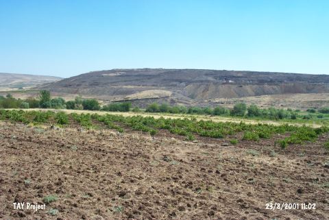
| Destruction Details: The skirts of the mound are eroded by agricultural activities and it is partly sown. Stones belonging to architectural remains are being used in order to separate the fields and terracing the mound. There are pits made by illicit diggers on top hill and north-northeast section of the mound [TAYEx 23.8.2001]. |