| ©The Archaeological Settlements of Turkey - TAY Project | ||||||
|
|
||||||
Beycesultan |
||||||
|
|
||||||
| Ages | Maps | Photos | ||||
| Chalcolithic EBA 14C |
 |
 |
||||
|
|
||||||
|
Type:
|
Mound | |||||
|
Altitude:
|
750 m | |||||
|
Diameter:
|
m- Direction: | |||||
|
|
||||||
|
Region:
|
Aegean | |||||
|
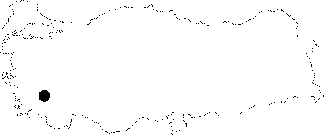
Province:
|
Denizli | |||||
|
District:
|
Çivril | |||||
|
Village:
|
Kocayaka | |||||
|
|
||||||
|
Destruction :
|
Illicit Digging - Attention | |||||
|
|
||||||
|
TAYEx:
|
Visited - 30/9/2000 | |||||
|
|
||||||
|
Registration State:
|
Registered For detailed registration information please refer to Turkish pages. | |||||
 |
||||||
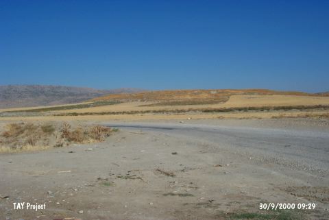
| Location: It lies next to the village of Mentese; 5 km southwest of the Çivril District; northeast of the Denizli Province. It is one of the biggest mounds in the vicinity of Denizli. It reads Behicesultan on the 1:200.000 map due to the tomb of an Ottoman saint located on the top hill. |
| Geography and Environment: An old channel of the Menderes River (Meandros) can be seen on the east of the settlement founded in the valley of Çivril. Possibly the river used to flow through this channel during that era. The mound has two hills; east and west. The path to the village of Yakacik passes through these two mounds [Lloyd-Mellaart 1962:plan in fig.1]. The western hill is 25 m while the eastern is 24 m high. The area between the two hills is 18 m high from the plain. The cone is 700x500 m. Depending on the distribution of sherds; the settlement's diameter is reported to measure 1 km. |
| Destruction Details: A drainage channel passes from the east and south of the mound. One of the old trenches was damaged by illicit diggings and the finds in this area were scattered around [TAYEx 30.9.2001]. |