| ©The Archaeological Settlements of Turkey - TAY Project | ||||||
|
|
||||||
Degirmentepe |
||||||
|
|
||||||
| Ages | Maps | Photos | ||||
| Chalcolithic EBA IA 14C |
 |
 |
||||
|
|
||||||
|
Type:
|
Mound | |||||
|
Altitude:
|
650 m | |||||
|
Diameter:
|
m- Direction: | |||||
|
|
||||||
|
Region:
|
Eastern Anatolia | |||||
|
Province:
|
Malatya | |||||
|
District:
|
Battalgazi | |||||
|
Village:
|
Imamli | |||||
|
|
||||||
|
Destruction :
|
Dams | |||||
|
|
||||||
|
TAYEx:
|
Not visited - 15/8/2003 | |||||
|
|
||||||
|
Registration State:
|
For detailed registration information please refer to Turkish pages. | |||||
 |
||||||
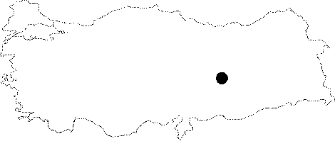
| Location: The site lies approximately 24 km northeast of Malatya; northeast of Battalgazi (Old Malatya) District; north side of the gravel road between Imamli Village and Adagoren Village. It has been inundated by the Karakaya Dam on Euphrates. The location code of the site is P 50 / 7. |
| Geography and Environment: The first settlement of the mound; located on the bank of Euphrates (40 m from the river in the present time); was founded on a natural conglomeratic elevation near the river. It is interpreted that the elevation was near the river during the first inhabitation; and the inhabitants used the Euphrates as a water source. Before the inundation; the mound was 12 m high above the level of the river bank; and 4.5 m high above the level of the southern road. It was 125 m wide in the north-south direction; 200 m long in the east-west direction; and looked like a "8" shaped; medium mound. The northern section ends with a steep slope at the fields near Euphrates; while the southern section is slightly sloped towards the road. Before the excavation; no damage was observed besides ploughing; and the overflowing of Euphrates. The mound used to be located on a narrow plain surrounded by fertile fields near Euphrates [Esin 1994:85-86]. |
| Destruction Details: The mound is flooded by dam reservoir [TAYEx 15.8.2003]. |